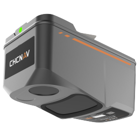
CHCNAV's "AA9" LiDAR for drone surveying
High-end performance at less than half the cost. UAV LiDAR 'CHCNAV AA9' suitable for public surveying.
"I want to introduce high-precision laser surveying, but cost is a barrier," and "I am struggling to obtain surface data in forested areas." The latest UAV LiDAR from CHCNAV, the 'AlphaAir 9 (AA9),' solves these challenges. This product, offered by SkyLink Japan, features a lightweight body of 1.45 kg, with long-range scanning of up to 700 meters and high-speed performance of 600,000 points per second. It provides "public surveying level" accuracy comparable to high-end machines at an overwhelming introduction cost.
- Company:WorldLink&Company SkyLink Japan
- Price:Other